A lone hiker at sunset.
A wild lizard basking on a rock in Cape Town.
A Cape Spurfowl.

Our private day hikes offer an intimate experience when exploring the Cape's trails. Solo travelers are welcome. Please contact us for availability.

Discover the Cape, one EPIC TRAIL at a time...
KEY


DIFFICULTY


DISTANCE


DURATION


ELEVATION GAIN

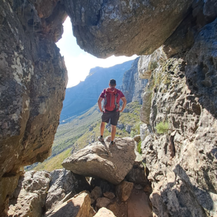
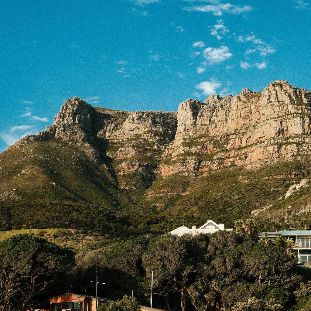
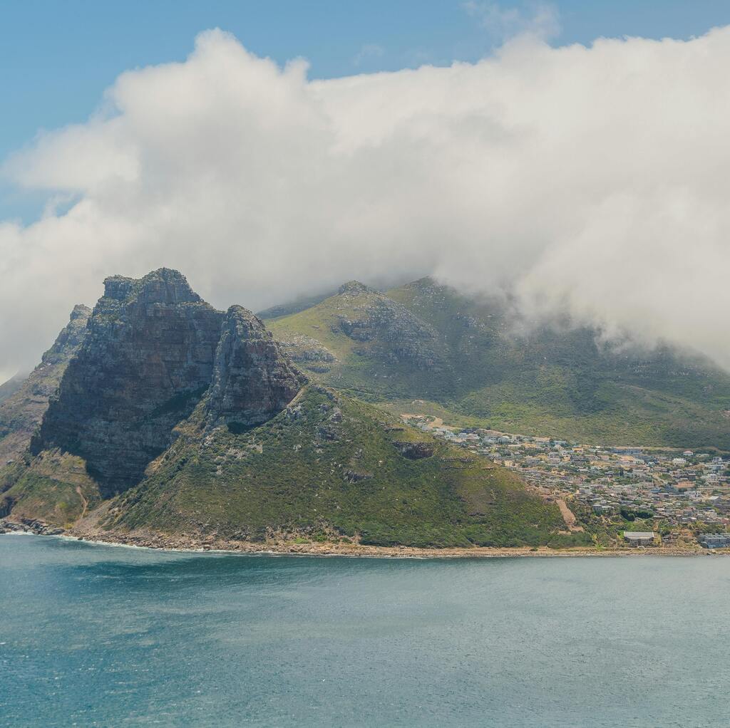
Discover Cape Town's breathtaking hiking trails with our certified mountain guides.

NB The trails mentioned on our website are not a comprehensive list of hikes available. Contact us for more info or if you're interested in exploring larger sections of Table Mountain.

ZA Residents enjoy a discount on hikes. Please contact us for more information.

Table Mountain covered in clouds with the city beneath it and red and white flowers in the forefront.
LION'S HEAD

Iconic and Rewarding

Table Mountain covered in clouds with the city beneath it and red and white flowers in the forefront.
PLATTEKLIP GORGE

Dramatic and Dazzling

Table Mountain covered in clouds with the city beneath it and red and white flowers in the forefront.
INDIA VENSTER

Thrilling and Epic

Table Mountain covered in clouds with the city beneath it and red and white flowers in the forefront.
SKELETON GORGE

Lush and Challenging

Table Mountain covered in clouds with the city beneath it and red and white flowers in the forefront.
KASTEELSPOORT

Scenic and Peaceful

Table Mountain covered in clouds with the city beneath it and red and white flowers in the forefront.
OTHER

Explore More

MORE day HIKING TRAILS TO EXPLORE

 2.5/5

 5 KM

 2-4 HRS

 450 M


Chapman's Peak

Trail Guide


Where to Begin

  • Park at the Chapman's Peak public parking area, located near the scenic drive between Hout Bay and Noordhoek.

Trail Start

  • The trail begins just above the road and leads hikers into the peak of the mountain.

Trail End

  • Chapman's Peak public parking area

Terrain

  • Well-maintained gravel path
  • Short, steep rock scramble near the summit
  • Easy to follow, with moderate elevation gain

Route Type

  • Out-and-back trail

Trail Overview

Chapman's Peak is a hidden gem among Cape Town’s hiking routes - less crowded yet deeply rewarding.

  • Duration 1,5–3 hours depending on pace
  • Distance Approx. 3–5 km round trip
  • Difficulty Moderate (some scrambling near the top)

Ideal for

  • Nature lovers, sunset seekers, and photographers.

Highlights

  • From the summit, enjoy panoramic views of the Atlantic Ocean, Hout Bay, and the rugged Constantiaberg range. 
  • The trail winds through fynbos-rich slopes, dotted with ericas, proteas, and native trees.
  • Keep an eye out for eagles, lizards, and the occasional dassie.
  • Late afternoon hikes are especially magical - the sandstone cliffs glow red in the sunset, and the horizon often lingers in a warm, radiant hue.

Best Time to Hike

  • Early morning or late afternoon for cooler temperatures.
  • Sunset hikes are a local favourite.

Safety Tips

  • Check the weather forecast before hiking.
  • Avoid midday heat.
  • Be prepared for changing weather conditions.
  • Go with fellow hikers or book a guide.
  • Stay on the path.
  • Pace yourself and stay hydrated.

Essentials

  • Backpack for water, snacks, and essentials
  • Personal medication (like asthma inhaler)
  • Comfortable clothing and a warm jacket 
  • Sturdy hiking shoes with good grip
  • Water (at least 1,5L per person)
  • Light snacks
  • Sunglasses
  • Sunscreen
  • Hat or cap

Notes 

  • Bring a torch or headlamp if hiking at dusk.

per person

R1200

6 to 7 

per person

R1400

4 to 5 

per person

R1700

2 to 3 

solo hiker

R2200

Inclusions

  • Private professional mountain-guide
  • Complimentary bottled water

Exclusions

  • Meals 
  • Beverages  
  • Admission fees
  • Transport (check in with us about optional transfers)
​​​​

 1.5/5

 12 KM

 2-4 HRS

 268 M


Pipe Track

Trail Guide


Where to Begin

  • Park at Kloof Nek public parking along Tafelberg Road.

Trail Start

  • The trail begins at the junction of Tafelberg Road and Kloof Nek, just below the Table Mountain Cableway.

Trail End

  • Tafelberg Road and Kloof Nek junction.

Terrain

  • Flat, mostly gravel path
  • Open landscape with minimal shade
  • Easy walking, suitable for most fitness levels

Route Type

  • Out-and-back trail - Start and finish at the same point.

Trail Overview

The Pipe Track is one of Table Mountain’s most beloved walking routes. 

  • Duration 2–4 hours depending on pace
  • Distance Just over 12 km
  • Difficulty Easy to Moderate

Ideal for 

  • Visitors seeking a gentle hike with spectacular scenery.

Highlights

  • Atlantic Ocean views, Camps Bay, Twelve Apostles, and vibrant fynbos vegetation (especially colourful May–October).
  • This historic trail follows the path of a 19th-century pipeline that once carried water from the Disa River to Cape Town. Today, it offers a peaceful escape with sweeping views and a chance to connect with nature - without the need to summit the mountain.

Best Time to Hike

  • Early morning to avoid midday heat
  • Sunset walks offer magical light and cooler temperatures.

Safety Tips

  • Check the weather forecast before hiking.
  • Start early to avoid midday heat.
  • Be prepared for changing weather conditions.
  • Go with fellow hikers or book a guide.
  • Stay on the path.
  • Pace yourself and stay hydrated.
  • Bring enough water - shade is limited.

Essentials

  • Backpack for water, snacks, and essentials
  • Personal medication (like asthma inhaler)
  • Comfortable clothing and a warm jacket 
  • Sturdy hiking shoes with good grip
  • Water (at least 1,5L per person)
  • Light snacks
  • Sunglasses
  • Sunscreen
  • Hat or cap

per person

R900

6 to 7 

per person

R990

4 to 5 

per person

R1200

2 to 3

solo hiker

R1700

Includes

  • Private professional mountain-guide
  • Complimentary bottled water

Excludes

  • Meals 
  • Beverages  
  • Admission fees
  • Transport (check in with us about optional transfers)
​​​​

 1.5/5

 1.9 KM

 HR

 174 M


Kloof Corner

Trail Guide


Where to Begin

  • Park at Kloof Nek public parking, located at the base of Table Mountain. 

Trail Start

  • The trail begins just across the road from the parking area.

Trail End

  • Kloof Nek public parking
  • Can be extended to the Table Mountain Cableway.

Terrain

  • Winding gravel path
  • Intermittent stone steps
  • Steep but solid footing throughout

Route Type

  • Out-and-back trail

Trail Overview

Kloof Corner is a short and scenic hike, perfect for those seeking a quick yet rewarding outdoor experience.

  • Duration 20–60 minutes depending on fitness
  • Distance Approx. 1,5 km round trip
  • Difficulty Easy to Moderate

Ideal for

  • Beginners, families, and casual hikers.

Highlights

  • Despite its brevity, the trail offers spectacular views of Camps Bay, Lion’s Head, the City Bowl, and the Atlantic Ocean.
  • It’s especially popular for sunset hikes, when the sky glows golden and the city lights begin to twinkle below.
  • Your guide may share a few hidden gems once you reach the Corner.

Best Time to Hike

  • Early morning or late afternoon for cooler temperatures.
  • Sunset hikes are a local favourite.

Safety Tips

  • Check the weather forecast before hiking.
  • Avoid midday heat.
  • Be prepared for changing weather conditions.
  • Go with fellow hikers or book a guide.
  • Stay on the path.
  • Pace yourself and stay hydrated.

Essentials

  • Backpack for water, snacks, and essentials
  • Personal medication (like asthma inhaler)
  • Comfortable clothing and a warm jacket 
  • Sturdy hiking shoes with good grip
  • Water (at least 1,5L per person)
  • Light snacks
  • Sunglasses
  • Sunscreen
  • Hat or cap

Notes 

  • Bring a torch or headlamp if hiking at dusk.

per person

R900

6 to 7 

per person

R990

4 to 5 

per person

R1200

2 to 3

solo hiker

R1700

Inclusions

  • Private professional mountain-guide

Exclusions

  • Meals 
  • Beverages
  • Admission fees
  • Transport (check in with us about optional transfers)
​​​​

 3/5

 7 KM

 4-5 HRS

 256 M


Krom Rivier

Trail Guide


Where to Begin

  • Parking available approximately 700m from the exit of the Huguenot Tunnel in Paarl.

Trail Start

  • The trail begins directly from the parking area.

Trail End

  • At the parking area.

Terrain

  • Flat jeep track at the start
  • Rocky paths with loose stones
  • River crossings and Afromontane Forest sections
  • Scrambling and tricky chain-assisted climb to the second waterfall

Route Type

  • Out-and-back trail

Trail Overview

The Kromrivier Trail is a magical riverside hike through the Du Toitskloof Mountains, offering a mix of gentle walking and adventurous climbing.

  • Duration 3–5 hours depending on pace and route taken
  • Distance Approx. 6–8 km round trip
  • Difficulty Moderate to Challenging

Ideal for

  • Nature lovers, waterfall chasers, and confident hikers.

Highlights

  • The trail begins on a jeep track, crosses a bridge, and follows the river upstream.
  • Along the way, you’ll encounter cool pools, mossy valleys, and lush indigenous vegetation.
  • The first waterfall is a serene spot for a swim and rest.
  • For those feeling adventurous, the climb to the second waterfall includes a steep scramble and chain-assisted section - rewarding you with a dramatic cascade and icy plunge pool.

Best Time to Hike

  • Early morning

Safety Tips

  • Check the weather forecast before hiking.
  • Avoid midday heat.
  • Be prepared for changing weather conditions.
  • Go with fellow hikers or book a guide.
  • Stay on the path.
  • Pace yourself and stay hydrated.

Essentials

  • Backpack for water, snacks, and essentials
  • Personal medication (like asthma inhaler)
  • Comfortable clothing and a warm jacket 
  • Sturdy hiking shoes with good grip
  • Water (at least 1,5L per person)
  • Light snacks
  • Sunglasses
  • Sunscreen
  • Hat or cap

Wildlife Note

You may encounter baboons along the trail.

  • Do not feed or approach them
  • Respect them as wild animals
  • Your guide will advise on safe behaviour

Booking 

  • Limited to 24 hikers per day.

per person

R1100

6 to 7 

per person

R1500

4 to 5 

per person

R2000

2 to 3 

solo hiker

R2500

Inclusions

  • Toll fees
  • Permit fees
  • Private professional mountain-guide
  • Complimentary bottled water

Exclusions

  • Meals 
  • Beverages  
  • Admission fees other that those already included
  • Transport (check in with us about optional transfers)
​​​​

WE OFFER TRANSPORT TO AND FROM THE HIKE LOCATION Ts & Cs (SUBJECT TO AVAILABILITY)

MULTIDAY HIKES